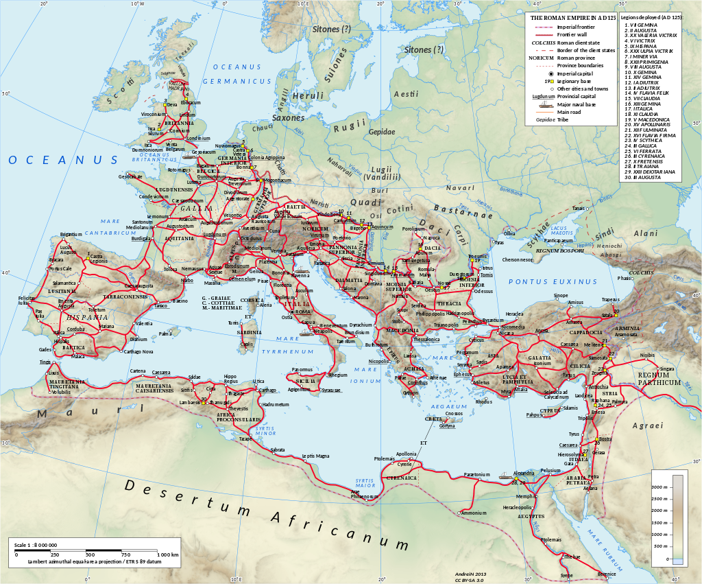
If you look at a list of what the Romans were known for, you’ll often find mention of road building, which became evermore important as the Roman Empire expanded. Julius Caesar and Emperor Augustus, were heavily involved in producing road networks throughout Rome, and the wider empire, with construction recorded as early as 500 BC, continuing through the Roman Republic and Roman Empire periods. Given that the road system in the Empire itself spanned 53,000 miles, the proverb ‘all roads lead to Rome’ may have some semblance of truth.
In Britain, Roman roads were originally built by soldiers, then later on the work was passed on to prisoners. The roads the Romans built had three main functions during the Roman rule of Britain. Initially they were a way of moving troops quickly across the country and the land they had conquered. Later on they formed an important part of the communications infrastructure, enabling messengers to carry important notices and letters around the country. The roads also enabled instructions to be passed on quickly between Rome and its Empire. As the Empire developed, and settlements grew up along the Roman Roads, the infrastructure also helped trade and the Roman economy. Excess food grown at Roman villas in the countryside was transported to army bases and urban settlements, while mass production of pottery was also possible.
Roman rule not only afforded power over the people of Britain, but control of its lands too, which meant that Roman roads could often be found crossing property and farmland. Most Roman roads were straight in construction, unless there were hills, mountains, and forests to be avoided. Construction of a Roman road would normally mean building up an embankment, surrounded by drainage ditches. The road would be built in layers using large rocks, stones, gravel and sand.
Evidence of the location of Roman Roads, was recorded in Antonine Itineraries or Roman Road Maps. In Britain there were two maps published, the Antonine Itnerary for Britain, known as Iter Britanniarum, and the Peutinger Table, an early predecessor to the AA Route Map. These maps would show the major Roman roads, distances between settlements, and also the placement of major forts. Distances were given in Roman Miles, which were approximately 5,000 feet or 1,479 metres.
Today, Roman Roads have been featured on historical programs like Channel 4’s Time Team, which in 2002 searched for a stretch of Ermine Street, which rose to prominence as one of the most important Roman roads in Britain. This road linked London with Lincoln, the Humber area, and Winteringham. Other well-known Roman roads include Watling Street, running from London to Wroxeter, and the Fosse Way which linked Exeter and Lincoln, and was built along a route that had been in use since prehistoric times.
Many of these roads fell into disrepair when the Romans left Britain, although many of our modern road networks follow similar routes, so the Romans did leave a useful legacy for modern Britains to make use of.
Link/cite this page
If you use any of the content on this page in your own work, please use the code below to cite this page as the source of the content.
Link will appear as Hanson, Marilee. "Roman Roads" https://englishhistory.net/romans/roman-roads/, March 2, 2022